Water shapes everyday life in the Netherlands. The North Sea meets the Rhine, Meuse and Scheldt river systems here, while much of the landscape sits close to or below sea level. Dutch water management responds with far more than a line of large dams. It combines storm surge barriers, dunes, dikes, river channels, pumping stations, sluices, freshwater reserves and careful land planning.
The Delta Works form the best-known part of this system. Built mainly across the southwestern delta, they protect communities from high water while helping to manage tides, river discharge and navigation. Yet they are only one part of a much larger network that operates every day.
That distinction matters. The Delta Works are physical structures; Dutch water management is the continuing process that surrounds them.
How The Dutch Water System Fits Together
| Part Of The System | Main Purpose | Common Examples |
|---|---|---|
| Coastal protection | Limits flooding and coastal erosion | Dunes, beaches, sea dikes and sand nourishment |
| Delta Works | Controls storm surges, tides and river outflow | Oosterschelde Barrier, Haringvliet complex and Maeslant Barrier |
| River management | Gives high river water more space | Wider floodplains, side channels and relocated dikes |
| Regional water control | Maintains local water levels and treats wastewater | Pumps, canals, sluices, regional dikes and treatment plants |
| Freshwater management | Stores and distributes water during dry periods | IJsselmeer reserves, locks, weirs and pumping stations |
| Spatial adaptation | Reduces the effects of heavy rain, heat and drought | Water storage areas, green spaces and water-aware construction |
Why Water Management Is A Daily Task
About a quarter of the Netherlands lies below sea level, and more than half of the country is vulnerable to flooding under certain conditions. The landscape also receives water from major European rivers. Rain or snowmelt far beyond the Dutch border can therefore affect water levels inside the country.
Keeping the sea out is only one job. Water managers must also discharge river water, drain low-lying land, retain freshwater, limit saltwater intrusion and maintain suitable water levels for homes, farming and nature. Sometimes water must leave quickly. During a dry summer, the same system may need to hold it back.
This constant balancing act explains the dense network of canals, ditches, locks and pumping stations. Much of it is easy to miss. A quiet canal beside a field may form part of a carefully controlled regional drainage system.
From The 1953 Flood To The Delta Works
During the night of 31 January to 1 February 1953, a severe North Sea storm combined with a high spring tide. Dikes failed in parts of Zeeland, South Holland and North Brabant. Large areas flooded, and 1,836 people in the Netherlands lost their lives.
The disaster led to a national plan for stronger flood protection. Engineers proposed closing several wide sea inlets in the southwest. Doing so would turn a long, irregular line of exposed dikes into a shorter and easier-to-defend coastal boundary.
Construction started quickly. Work on the Hollandsche IJssel Barrier began in 1954, and the barrier entered service in 1958. It became the first completed Delta Work.
Dams, Sluices and Movable Barriers
The Delta Works are often described as a single project, but they form a linked group of structures. The official system contains five storm surge barriers, two sluice complexes and six dams. Some counts differ when smaller connected parts are listed separately.
A fixed dam permanently separates two bodies of water. A sluice controls water flow or allows boats to pass between different water levels. A movable storm surge barrier normally remains open and closes when high water threatens. Each type serves a different purpose.
| Structure | Completion Or Opening | Role |
|---|---|---|
| Hollandsche IJssel Barrier | 1958 | Protects a very low-lying and densely developed area near Rotterdam |
| Grevelingen Dam | 1965 | Reduced tidal flow and supported construction of later works |
| Haringvliet Complex | 1970 | Controls high water and discharges water from the Rhine and Meuse system |
| Brouwers Dam | 1971 | Closed the Brouwershavense Gat and shortened the exposed coastline |
| Oosterschelde Barrier | 1986 | Closes during threatening sea levels while normally allowing tides to pass |
| Maeslant Barrier | 1997 | Protects the Rotterdam region without permanently closing its shipping route |
The Oosterschelde Barrier
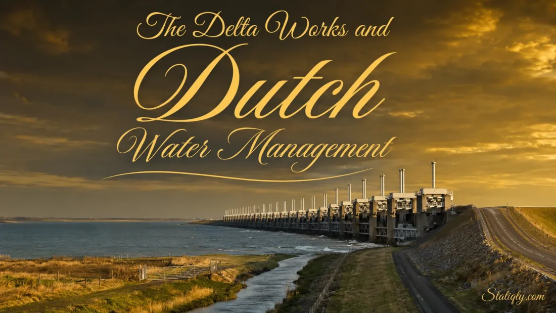
The Oosterscheldekering, or Eastern Scheldt Barrier, is the largest and most familiar structure in the Delta Works. It stretches for about nine kilometres between Schouwen-Duiveland and Noord-Beveland. Roughly three kilometres consist of sections that can be closed.
The first plan called for a solid dam. That design would have removed most tidal movement and changed the saltwater estuary into a different type of water body. A movable barrier was chosen instead, allowing the tides to continue under normal conditions.
The completed barrier has 65 large concrete piers and 62 steel gates. The gates remain raised during ordinary weather. When a dangerous water level is expected, they descend between the piers and restrict the incoming surge.
This open design illustrates a recurring Dutch approach: protection does not always require permanently separating land and sea. Sometimes a controlled opening works better.
Why The Tides Still Matter
Tidal water supports the character of the Oosterschelde. Keeping part of that movement helped preserve saltwater conditions and habitats linked to tidal flats. The barrier still altered the strength of the tides, so managers continue to monitor sediment movement and reinforce vulnerable sandbanks when needed.
The Maeslant Barrier Near Rotterdam
The Nieuwe Waterweg gives ships direct access between the North Sea and the Port of Rotterdam. Permanently damming this route was not practical. Engineers instead designed the Maeslantkering, a barrier with two enormous movable gates.
Each gate is about 210 metres wide. Under normal conditions, the gates rest in dry docks beside the channel. When the closure system is activated, the docks fill, the gates float into position and then sink across the waterway. After the danger passes, they return to their docks.
The Maeslant Barrier works with the Hartel Barrier and the extended Rozenburg Dike as part of the Europoort flood defence. It was completed in 1997, showing that the Delta Works continued to develop after the Oosterschelde project opened in 1986.
The Haringvliet As A Water Control Point
The Haringvliet structure is more than a dam. Its 17 sluice openings help regulate water arriving through the Rhine and Meuse river system. When river discharge is high and sea conditions permit, the gates release water into the North Sea.
Gate operation depends on several needs, including flood protection, river flow, freshwater conditions and ecology. This is water management in its most practical form: decisions change with the weather, tide and amount of river water moving through the delta.
Why The Afsluitdijk Is Different
The Afsluitdijk often appears in discussions about Dutch hydraulic engineering, yet it is not one of the Delta Works. It was completed in 1932, more than two decades before the 1953 flood.
This 32-kilometre dike separates the Wadden Sea from the IJsselmeer. It provides flood protection, carries a major road and helps maintain the IJsselmeer as the country’s largest freshwater lake. Sluices discharge excess lake water toward the sea when water levels allow. New pumping capacity supports drainage when gravity alone is not enough.
The distinction is simple: the Afsluitdijk belongs to an earlier national project, while the Delta Works arose from the programme developed after 1953. Both now serve the wider Dutch water system.
Dikes, Dunes and Sand Along The Coast
Large barriers attract attention, but long sections of the Dutch coast rely on dunes and beaches. Sand absorbs wave energy and gives the coastline room to shift naturally. Wind can carry beach sand inland, helping dunes grow.
Sea currents also remove sand. To keep the coastline in place, the Netherlands regularly adds sand taken from designated areas of the North Sea. This process is called sand nourishment. Sand may be placed directly on a beach, underwater near the shore or in a larger coastal deposit that currents gradually redistribute.
The Sand Motor, created along the South Holland coast in 2011, tested the last method on a large scale. Waves, wind and currents spread the deposited sand along nearby shores over time. Nature does part of the work.
How Polders Stay Usable
A polder is an area enclosed by water defences where the water level is controlled. Some polders consist of reclaimed land; others are naturally low areas surrounded by dikes.
Rain and groundwater still enter a polder. Ditches collect this water and carry it toward larger channels. Pumping stations then move it to a higher canal, lake or river. From there, another part of the network can discharge it toward the sea.
- Ditches collect water from fields and developed areas.
- Canals move water through the regional system.
- Pumping stations lift water when it cannot flow by gravity.
- Sluices and weirs regulate flow and maintain selected water levels.
- Regional dikes separate low land from canals, lakes and rivers.
Historic windmills once performed much of the pumping. They remain part of the Dutch landscape, but electric and diesel pumping stations now handle most modern water-level control.
Giving Rivers More Space
Higher dikes are not the only response to high river water. A narrow river channel can push water levels upward and place more pressure on its banks. The Room for the River programme addressed this problem by increasing the space available for high flows.
- Moving selected dikes farther inland
- Lowering parts of the floodplain
- Creating side channels and high-water channels
- Removing or adjusting obstacles that slow river flow
- Temporarily allowing suitable land to store high water
These measures allow water to spread across a wider area during high-flow periods. Pressure on the main dikes can then fall. Several projects also created new landscapes for nature and outdoor recreation.
Different rivers need different solutions. The Rhine branches carry water from a vast international basin, while the Meuse can respond more quickly to heavy rainfall in its smaller basin. Managers use forecasts, gauges and computer models to follow both systems.
Freshwater During Dry Periods
A country surrounded by water can still face freshwater shortages. Low river discharge, dry weather and saltwater moving inland can reduce the amount available for drinking water, farming, industry and nature.
The IJsselmeer and Markermeer act as a large freshwater reserve. Water enters mainly through the River IJssel, a branch of the Rhine. During dry periods, locks, weirs and pumps help direct available water toward regions where it is needed.
Managers also monitor salinity. If river flow drops, seawater can press farther into river mouths and canals. Sluice operation, water distribution and temporary intake measures can help protect freshwater supplies. Every choice affects another user, which is why allocation follows an agreed order during shortages.
Who Manages Dutch Water
No single organisation controls every canal, dike and barrier. Responsibilities are divided by scale and type of water.
| Organisation | Main Responsibilities |
|---|---|
| National government | Sets national policy and flood protection standards |
| Rijkswaterstaat | Manages national waters, major barriers, parts of the coast, large rivers and major waterways |
| 21 regional water authorities | Manage regional dikes, local water levels, water quality and wastewater treatment |
| Provinces | Coordinate regional measures and carry out assigned groundwater tasks |
| Municipalities | Manage urban rainwater, wastewater systems and groundwater responsibilities |
The regional water authorities are a distinctive feature of the Dutch system. Residents elect their general boards, and the authorities collect taxes for regional water work. Their boundaries follow water systems rather than ordinary municipal or provincial borders.
From The Delta Works To The Delta Programme
The original Delta Works answered an urgent need for stronger protection against the sea. Present-day water planning covers a wider set of conditions: sea-level rise, changing river discharge, heavy rain, land subsidence, heat, drought and pressure on freshwater supplies.
The National Delta Programme coordinates work in three broad areas:
- Flood risk management for the sea, rivers and large lakes
- Freshwater availability during dry conditions
- Climate-resilient spatial planning in cities and rural areas
The programme is updated every year under the direction of the independent Delta Commissioner. National, provincial and municipal authorities work with regional water authorities, Rijkswaterstaat, research organisations and other participants. The stated national aim is to make the Netherlands climate-resilient by 2050.
What Changed In 2026?
On 22 June 2026, the Delta Programme announced the completion of the Sea Level Rise Knowledge Programme after six years of research. The programme examined how Dutch flood protection and freshwater systems could perform under sea-level-rise scenarios ranging from 0.5 to 5 metres, including the effects on flood safety, saltwater intrusion and freshwater availability.
The work also examined possible strategies for the period after 2100. Its findings give the Delta Programme and water authorities a stronger evidence base for deciding when existing coastal defences, river measures and freshwater strategies may need to change. Higher sea levels affect more than the height of dikes: they can make it harder to discharge water to the sea, increase salinisation and place extra pressure on freshwater reserves.
Safety Standards Based On Risk
Since 2017, Dutch flood protection standards have considered both the likelihood of flooding and its possible effects. A defence protecting a densely populated area may therefore face a different requirement from one protecting a less populated landscape.
Structures are inspected, maintained and tested throughout their working lives. Sensors and forecasts support operating decisions, but physical checks still matter. A barrier that rarely closes must work correctly on the day it is needed.
Water Management Within Towns and Cities
Heavy rain can cause local flooding even when every sea barrier and river dike performs as planned. Urban drainage therefore forms another layer of protection.
- Public squares can temporarily store rainwater.
- Parks and planted areas allow more water to enter the soil.
- Ponds and open channels provide extra storage.
- Separate rainwater drains reduce pressure on wastewater sewers.
- Raised floors and carefully placed equipment can limit damage inside buildings.
Such measures do not replace dikes or barriers. They handle a different type of water problem, often at street or neighbourhood level.
Common Questions About The Delta Works
Are The Delta Works A Single Dam?
No. They are a connected system of dams, sluice complexes and movable storm surge barriers built at different locations. Roads, navigation locks and water-control structures are included in several projects.
Do The Storm Surge Barriers Stay Closed?
Most movable barriers remain open during normal conditions. This allows tides, river discharge or shipping to continue. They close when forecasts and measured water levels meet their operating rules.
What Does NAP Mean?
NAP stands for Normaal Amsterdams Peil, the national height reference used in the Netherlands. Its zero level is roughly comparable with average North Sea level. Engineers and water managers use NAP when describing land elevations and expected water levels.
Is The Afsluitdijk Part Of The Delta Works?
No. The Afsluitdijk was completed in 1932 as part of the Zuiderzee Works. It is closely connected to modern Dutch water management, especially flood protection and freshwater storage, but it predates the Delta Works.
What Is The Difference Between The Delta Works and The Delta Programme?
The Delta Works are physical flood-control projects, mainly built after the 1953 flood. The Delta Programme is the continuing national planning process for flood protection, freshwater availability and climate adaptation.
Can Visitors See The Water System Working?
Yes. Roads cross several Delta Works, and public viewpoints provide clear views of major barriers and dams. Visitors can also recognize everyday water management in coastal dunes, river side channels, polder canals, pumping stations and carefully controlled lake levels. Once noticed, the system appears almost everywhere.