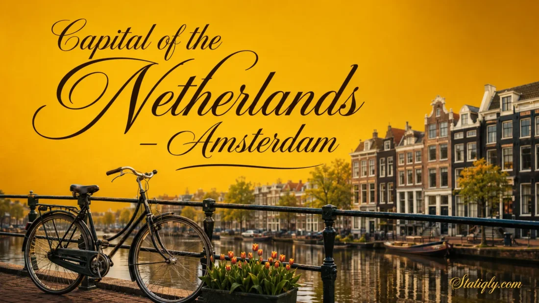
Amsterdam is the capital of the Netherlands, a role written into the Dutch Constitution. Set where the Amstel River meets the IJ, the city joins historic waterways, narrow canal houses, major museums, universities, businesses and busy neighbourhoods within one closely connected urban area. Amsterdam represents the Netherlands internationally, even though many national institutions work from The Hague.
This division often causes confusion. Amsterdam holds the capital title, while The Hague serves as the main seat of national administration. Each city has a distinct national role.
Amsterdam’s Place in the Netherlands
| Category | Information |
|---|---|
| Official status | Capital of the Netherlands |
| Province | North Holland |
| Provincial capital | Haarlem, not Amsterdam |
| National administrative seat | The Hague |
| Municipal population | 941,873 at the beginning of 2026 |
| Main language | Dutch |
| Currency | Euro |
| Time zone | Central European Time, with summer daylight saving |
| Main waterways | Amstel River, IJ and the canal network |
| Municipal structure | Seven districts and the Weesp urban area |
| International airport | Amsterdam Airport Schiphol, located in nearby Haarlemmermeer |
Why Amsterdam Is the Capital
Article 32 of the Dutch Constitution names Amsterdam as the capital. The city therefore holds the country’s formal and ceremonial capital status. National inaugurations take place in Amsterdam, and the Royal Palace on Dam Square provides a setting for official occasions.
The capital title also reflects Amsterdam’s long role in Dutch commerce, finance, publishing, art and urban life. By the seventeenth century, it had developed into a large port and trading centre. Its influence extended well beyond its municipal boundaries.
Amsterdam and The Hague Serve Different Roles
The Hague is not the official capital. It is the city where the national government, parliament, ministries and many foreign diplomatic offices are based. The Hague also contains the main workplaces associated with national administration.
- Amsterdam: constitutional capital, royal ceremonies, finance, culture and international business.
- The Hague: national administration, parliament, ministries and diplomatic institutions.
- Haarlem: capital of the province of North Holland.
Why did the Netherlands retain this unusual arrangement? Amsterdam gained the capital title through its historical and national standing, while institutions already established in The Hague remained there. The result is a shared pattern of functions rather than a single government district.
How Amsterdam Became the Capital
From a Dam on the Amstel
Amsterdam began near a dam built across the Amstel River. Its name developed from Amstelredamme, meaning a dam on the Amstel. The earliest known written record connected with the settlement dates from 1275, when its residents received a toll privilege.
Water shaped the settlement from the beginning. Canals drained wet ground, moved goods and connected homes, workshops and markets. The growing town faced the IJ, giving it access to wider inland and maritime routes.
The Canal Ring Reshaped the City
Amsterdam expanded rapidly during the seventeenth century. Work on its planned canal ring began in 1613 and continued in stages. Engineers created curved waterways around the older centre, raised land for construction and divided the new ground into narrow plots.
The plan produced approximately 14 kilometres of canals and 80 bridges within the historic expansion. Herengracht, Keizersgracht and Prinsengracht became its three best-known canals. Streets crossing the waterways linked residential areas with shops, workshops and the harbour.
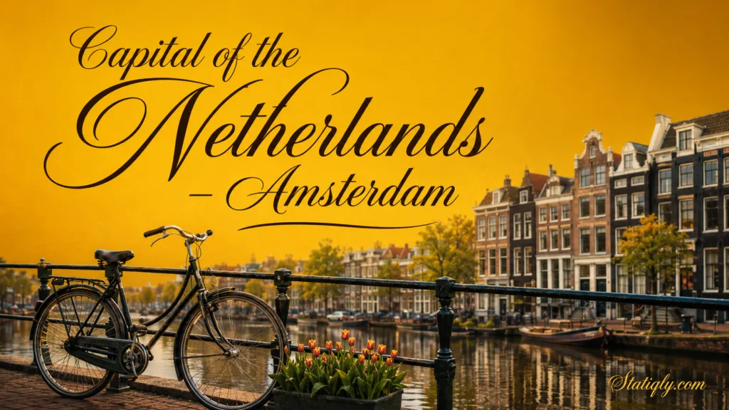
Narrow plots explain the slim canal-house facades seen today. Many buildings extend far behind their street fronts, sometimes with inner courtyards or rear houses. Different gables, brickwork and window patterns create variety without breaking the rhythm of each canal.
The Capital Title Through Time
Amsterdam became the capital of the Kingdom of Holland in 1808. Its former town hall on Dam Square was converted into a royal palace during the same period. The 1814 Constitution named Amsterdam as the capital, although that wording disappeared from the following constitution.
The city continued to be treated as the national capital in practice and tradition. In 1983, the revised Constitution explicitly named Amsterdam as the capital again. That wording remains the clearest legal basis for its status.
The Canal City and Its Urban Form
Central Amsterdam does not follow a simple rectangular street plan. Its semicircular canals, radial streets, bridges and former harbour edges determine how people move through the city. A destination that looks close on a map may sit across several waterways. Around the next corner, another bridge.
A UNESCO-Listed Canal District
The Seventeenth-Century Canal Ring Area inside the Singelgracht joined the UNESCO World Heritage List in 2010. The listed property covers 198.2 hectares, supported by a 481.7-hectare buffer zone.
The designation recognises the district’s planned waterways, land division, aligned facades and hydraulic engineering. The canals were not added only for appearance. They helped drain land, support movement and organise an expanding city.
Dam Square and the Historic Centre
Dam Square marks the area around the original dam. The Royal Palace, Nieuwe Kerk and surrounding commercial streets show how civic, ceremonial and everyday functions meet in central Amsterdam.
Nearby, the medieval street pattern differs from the measured curves of the later canal belt. This change is easy to notice while walking: compact lanes near the oldest centre give way to broader canals and more regular blocks.
Districts and Neighbourhood Character
The municipality contains seven districts: Centrum, Noord, West, Nieuw-West, Zuid, Oost and Zuidoost. Weesp forms a separate urban area within the municipality. Each part has its own housing forms, public spaces and transport links.
- Centrum contains Dam Square, the oldest streets and much of the canal belt.
- Noord lies across the IJ and combines residential neighbourhoods with redeveloped waterfront areas.
- West includes dense residential streets, markets and districts developed beyond the historic canals.
- Nieuw-West is known for larger neighbourhood plans, open spaces and post-war expansion.
- Zuid contains Museumplein, De Pijp, residential avenues and major business areas.
- Oost brings together parks, residential quarters, educational sites and eastern dock areas.
- Zuidoost has its own urban centres, entertainment venues, workplaces and transport hubs.
- Weesp adds a smaller historic town setting beside the Vecht River.
Well-Known Areas Within the Districts
District names and neighbourhood names are not always interchangeable. Jordaan, for example, forms part of Centrum, while De Pijp belongs to Zuid. Museumplein is a public square and cultural area rather than a separate municipal district.
These distinctions matter when comparing addresses, population figures or local services. A statistic for Centrum does not describe the whole municipality, just as a metropolitan figure includes places beyond Amsterdam’s city boundary.
Population and Metropolitan Reach
Amsterdam had 941,873 municipal residents at the beginning of 2026. This figure refers to the municipality, including Weesp. Counts for the wider metropolitan area are much larger because they include neighbouring municipalities.
The Amsterdam Metropolitan Area connects the capital with nearby cities and towns through employment, education, railways, roads, the airport and the regional landscape. Haarlem, Almere, Amstelveen, Zaandam and other communities maintain their own identities and administrations even when daily travel ties them closely to Amsterdam.
Culture, Learning and Creative Life
Amsterdam’s cultural identity reaches beyond the canal belt. Museums, concert halls, libraries, theatres, design studios and educational institutions operate across the city. Some occupy historic buildings; others stand in newer waterfront and suburban districts.
Museumplein and Major Collections
Museumplein brings several major institutions into one area. The Rijksmuseum presents Dutch art and historical objects across many centuries. The Van Gogh Museum holds the largest collection of works by Vincent van Gogh, while the Stedelijk Museum focuses on modern and contemporary art and design.
Elsewhere, NEMO Science Museum offers interactive science displays, Het Scheepvaartmuseum explores maritime culture, and the Amsterdam Museum presents the city’s development through objects and stories. Smaller galleries and performance spaces spread cultural activity well beyond the busiest institutions.
Universities and Research
The University of Amsterdam and Vrije Universiteit Amsterdam are the city’s two main research universities. Amsterdam also contains universities of applied sciences, specialist academies and research institutes. Students form a visible part of daily life in libraries, campuses and neighbourhoods across the capital.
Economy and International Connections
Amsterdam supports finance, technology, media, design, logistics, education and professional services. Euronext Amsterdam continues the city’s long association with organised financial trading. The port, Schiphol Airport and rail network connect local businesses with markets across Europe and farther abroad.
Economic activity is not confined to the old centre. The Zuidas district contains offices and transport connections around Amsterdam Zuid station. Other employment areas sit near Sloterdijk, Zuidoost, the port and the eastern parts of the city.
Getting Around the Capital
Walking, cycling and public transport all shape movement in Amsterdam. In the oldest districts, short blocks and frequent bridges make walking practical. Cycling connects neighbourhoods efficiently, though busy lanes require attention to local signs and right-of-way rules.
Trams, Metro, Buses and Ferries
GVB operates Amsterdam’s main urban transport network. It includes trams, buses, ferries and five metro lines. Trams serve much of the established urban area, while metro routes provide faster links between the centre, Noord, Zuid and Zuidoost.
Ferries cross the IJ behind Amsterdam Centraal. Most of these crossings are free for pedestrians and cyclists. They make the northern waterfront feel closely connected to the historic centre despite the wide stretch of water between them.
Rail and Airport Access
Amsterdam Centraal is the main railway gateway in the historic centre. Other useful stations include Amsterdam Zuid, Sloterdijk, Amstel and Bijlmer ArenA. Together they connect city districts with Dutch intercity and regional services.
Amsterdam Airport Schiphol sits southwest of the city in the municipality of Haarlemmermeer. Frequent direct trains link its station with Amsterdam Centraal and other city stations. Despite its name, the airport is not inside Amsterdam’s municipal boundary.
Language, Time and Everyday Practicalities
- Language: Dutch is the main language used in public administration, education and local communication. English is also widely understood.
- Currency: The Netherlands uses the euro.
- Time: Amsterdam follows Central European Time and changes to Central European Summer Time during the daylight-saving period.
- Climate: The city has a temperate maritime climate with cool winters, mild summers and rainfall throughout the year.
- Electricity: Standard supply is 230 volts at 50 hertz, using Type C and Type F plugs.
Seasonal daylight changes noticeably. Summer evenings remain light for many hours, while winter days are shorter. The nearby North Sea moderates temperatures but also brings changeable weather.
Common Questions About Amsterdam
Is Amsterdam Really the Capital of the Netherlands?
Yes. The Dutch Constitution explicitly identifies Amsterdam as the capital. The presence of national institutions in The Hague does not change that status.
Why Is the Government Based in The Hague?
The Hague had long served as an administrative centre before Amsterdam’s modern capital role was settled. Parliament, ministries and related institutions remained there, producing the division that continues today.
Is Amsterdam the Capital of North Holland?
No. Amsterdam lies within the province of North Holland, but Haarlem is the provincial capital. Amsterdam is the national capital.
What Does the Name Amsterdam Mean?
The name refers to a dam on the Amstel River. Earlier written forms included Amstelredamme, which gradually developed into Amsterdam.
Are the City and Metropolitan Area the Same?
No. The municipality has defined administrative boundaries and includes seven districts plus the Weesp urban area. The metropolitan area covers a wider network of neighbouring municipalities connected to Amsterdam through work, transport and services.
Which Waterway Gave Amsterdam Its Name?
The Amstel River gave the city its name. The river still flows through Amsterdam and meets the historic canal system before reaching the IJ.