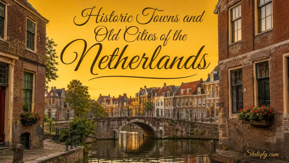
The Netherlands holds centuries of urban history within a remarkably compact landscape. Beyond Amsterdam, old cities reveal medieval street patterns, quiet courtyards, stepped gables, river harbors and canals built as working parts of the city. Each place has its own rhythm. Utrecht grew around an unusual two-level canal system, Dordrecht faces a meeting of rivers, and Maastricht carries traces of Roman and medieval life in the same walkable center.
These places are not preserved museum sets. People live, study, shop and work inside their historic centers. That daily use gives Dutch heritage cities much of their appeal: the old streets still belong to ordinary life.
Historic Cities Worth Knowing
| City | Province | Historical Character | Places That Define It |
|---|---|---|---|
| Amsterdam | North Holland | Planned canal city with narrow merchant houses | Canal Ring, Dam Square, Jordaan |
| Utrecht | Utrecht | Medieval center with sunken canal wharves | Dom Tower, Oudegracht, Domplein |
| Maastricht | Limburg | Roman roots, stone architecture and old squares | Vrijthof, Sint Servaasbrug, Onze Lieve Vrouweplein |
| Dordrecht | South Holland | Historic river port with inner harbors | Groothoofd, Grote Kerk, Wolwevershaven |
| Delft | South Holland | Canals, ceramics and intimate historic streets | Markt, Oude Delft, Prinsenhof |
| Leiden | South Holland | University city with canals and courtyard homes | Rapenburg, Pieterskerk, De Burcht |
| Haarlem | North Holland | Gothic landmarks, courtyards and riverside streets | Grote Markt, Grote Kerk, Spaarne |
| Amersfoort | Utrecht | Medieval gates, walls and circular streets | Koppelpoort, Muurhuizen, Onze Lieve Vrouwetoren |
| Deventer | Overijssel | Hanseatic river city with old trading streets | Brink, Bergkwartier, Lebuinuskerk |
| Gouda | South Holland | Medieval market center shaped by canals and crafts | Markt, Sint-Janskerk, historic town hall |
| Middelburg | Zeeland | Monumental center with an abbey and hidden lanes | Middelburg Abbey, Markt, Kuiperspoort |
| ’s-Hertogenbosch | North Brabant | Medieval streets above a network of waterways | Binnendieze, St. John’s Cathedral, Markt |
| Zwolle | Overijssel | Hanseatic center with gates and merchant houses | Sassenpoort, Grote Markt, Peperbus |
What Makes a Dutch City Historic?
Age alone does not define an old Dutch city. The strongest historic centers preserve several connected layers: their street plan, waterways, plot boundaries, public squares and traditional buildings. A single old church may be impressive, but a complete network of lanes, canals and houses explains how the city once worked.
The Netherlands has more than 400 nationally protected urban and village areas. Known in Dutch as beschermde stads- en dorpsgezichten, these districts receive protection because of their shared cultural and architectural character. A building inside such an area does not automatically become an individual listed monument. The protected value often lies in the entire streetscape.
- Canals and harbors: Water served transport, drainage, trade and town planning.
- Market squares: Central squares joined civic, commercial and community life.
- Gabled houses: Narrow plots produced tall façades with varied rooflines.
- City gates: Surviving gates mark former entrances and boundaries.
- Hofjes: Small residential courtyards created calm spaces behind busy streets.
- Warehouses: Their broad doors and sturdy construction reflect the needs of working ports.
- Church towers: Tall towers still help visitors read the layout of many old centers.
Amsterdam and Its Planned Canal Ring
Amsterdam is the country’s most familiar historic city, yet its old center contains more than one urban layer. The irregular lanes around Dam Square belong to the medieval town. Outside them, the seventeenth-century Canal Ring follows a far more ordered plan.
Herengracht, Keizersgracht and Prinsengracht curve around the center in broad arcs. Builders created this district by draining wet ground, digging canals and dividing the new land into narrow plots. The result influenced urban planning well beyond the Netherlands and later gained UNESCO World Heritage status.
Look closely at the canal houses. Their limited frontage hides considerable depth, while different gables create movement along each block. Former warehouses often have simpler façades and larger openings. Jordaan, beside the formal Canal Ring, feels tighter and less symmetrical, with narrow streets and smaller canals. Amsterdam rewards slow observation more than hurried sightseeing.
Utrecht and the Two-Level Canals
Utrecht offers one of the most unusual canal landscapes in Europe. Along the Oudegracht, the street stands above lower wharves beside the water. Tunnels once connected these wharves directly to cellars beneath canal houses, allowing goods to move from boats into storage without crossing the upper road.
The Oudegracht began taking shape after Utrecht received city rights in 1122. Today, its waterside paths and wharf cellars remain part of the center’s daily life. Above them rises the 112-meter Dom Tower, the tallest church tower in the Netherlands. Its position makes Domplein a natural point from which to understand the old city.
Utrecht feels layered rather than uniform. Medieval lanes meet broad canals, small squares and later townhouses. Few Dutch cities show the relationship between street level, storage space and water so clearly.
Maastricht and Its Southern Stone Streets
Maastricht looks and feels different from the canal cities of western Holland. Local stone, gently rising streets and broad paved squares give its center a southern character. The city developed near an old crossing of the River Meuse, and traces of several periods sit close together.
The thirteenth-century Sint Servaasbrug links the historic center with the Wyck district. On the western bank, Vrijthof forms an open civic square beside major religious buildings. Nearby, Onze Lieve Vrouweplein offers a smaller setting around the Basilica of Our Lady.
Sections of old walls, gates and narrow lanes survive around the center. Rather than following one formal pattern, Maastricht unfolds through connected pockets. Turn a corner, and the scale changes. Here a broad square, there a quiet stone passage.
Dordrecht and the Meeting of Rivers
Dordrecht received city rights in 1220 and is regarded as the oldest city in the historical Holland region. Its setting explains much of its form. The Merwede, Noord and Oude Maas meet nearby, while inner harbors reach into the old center.
Unlike a planned canal belt, Dordrecht’s waterways feel like working harbor spaces. Warehouses and merchant houses face Wolwevershaven and Kuipershaven. At Groothoofd, visitors can see the rivers come together beside the monumental Groothoofdspoort gate.
The historic center contains around 1,000 monuments. Grote Kerk, old quays and streets such as Wijnstraat show how closely buildings followed the water. For anyone interested in river-based urban history, Dordrecht deserves more attention than it usually receives.
Delft and Its Intimate Canal Center
Delft compresses many familiar Dutch features into a center that is easy to explore on foot. Canals run beside brick houses, small bridges connect narrow streets, and Markt opens suddenly between the historic town hall and Nieuwe Kerk.
The Oude Delft canal forms one of the calmest architectural lines in the city. Along and near it stand the Oude Kerk, former civic buildings and the Prinsenhof complex. Delft is also closely associated with Johannes Vermeer and the blue-and-white ceramic tradition known as Delftware.
Its appeal lies in proportion. The main monuments feel grand, but the surrounding streets remain human in scale. Even a short walk reveals façades, courtyards, canal edges and views framed by church towers.
Leiden and Its Courtyards
Leiden combines an old textile city, a university center and a dense network of waterways. Leiden University, founded in 1575, is the oldest university in the Netherlands. Academic buildings, museums and historic homes now share streets that preserve much of the older urban plan.
The historic center contains about 28 kilometers of canals and singels, crossed by dozens of bridges. Rapenburg presents an elegant canal view, while Pieterskerk and the surrounding lanes show a tighter side of the city. De Burcht, a raised circular stronghold in the center, offers another way to read Leiden’s layout.
Leiden is also known for its hofjes. These enclosed residential courtyards sit behind modest entrances, so they are easy to pass without noticing. Many remain lived-in spaces. Visitors should enter only where access is permitted and keep voices low.
Haarlem and the Grote Markt
Haarlem’s historic center gathers around Grote Markt, a wide square bordered by the Grote Kerk, town hall and rows of traditional façades. From there, old streets lead toward the River Spaarne, where waterside buildings give the city a second visual focus.
The center is noted for concealed courtyards, brick lanes and buildings from several periods. This variety prevents Haarlem from feeling like a single preserved scene. Medieval forms, merchant houses and later shopfronts sit together naturally.
Haarlem works especially well for travelers who want the canals and gables associated with western Dutch cities in a compact setting. Amsterdam lies nearby, yet Haarlem keeps a clear identity of its own.
Amersfoort Inside the Old Walls
Amersfoort preserves a strong medieval outline. The Koppelpoort, begun in the fourteenth century, served as both a land gate and a water gate. It remains one of the clearest examples of how waterways passed through a fortified city boundary.
Muurhuizen follows the line of an earlier wall. When the city expanded, houses rose on and near its former foundations, creating a curved street unlike the straighter canal blocks found in western cities. The 98-meter Onze Lieve Vrouwetoren stands near the geographical center of the old town and appears at the end of several street views.
Within a relatively small area, Amersfoort brings together gates, canals, wall lines and irregular lanes. The original defensive shape remains readable. That is its special strength.
Deventer and the IJssel
Deventer stands on the River IJssel and belongs to the network of Dutch Hanseatic cities. Its old center contains more than 500 monuments, with streets that reflect its long role as a market and trading city.
Brink is the main historic square, bordered by varied façades and the late-medieval Waag. From the square, the streets rise toward Bergkwartier and Bergkerk. Near the river, the Lebuinuskerk tower helps define the skyline.
Water shaped Deventer differently from Delft or Leiden. The IJssel is a broad river beside the city rather than a fine web running through every block. The result is an old center with open river views and tightly built inland streets.
Gouda Beyond Its Famous Cheese
Gouda received city rights in 1272. Its medieval street pattern, canals and plot divisions remain visible across the protected center. Markt forms the main public space, with the Gothic town hall standing separately in the square.
Sint-Janskerk stretches for roughly 123 meters and is known for its large collection of stained-glass windows. Around it, smaller lanes, canals and courtyards reveal a quieter city than the open Markt suggests.
Cheese, candles, ceramics and syrup waffles all belong to Gouda’s cultural identity, but its built heritage deserves equal notice. Study the relationship between the central square and the surrounding waterways. The city’s shape becomes clear very quickly.
Middelburg and Its Monumental Lanes
Middelburg, the capital of Zeeland, centers on a medieval abbey complex and a broad market square. Its late-Gothic town hall, completed in the early sixteenth century, provides the most detailed façade on Markt.
The Abbey contains courtyards, towers and covered passages, while nearby streets hold former warehouses and townhouses. Kuiperspoort is a narrow passage lined with restored historic buildings. Koepoort, dating from 1735, is the only one of Middelburg’s former city gates preserved in full.
Look above the doors as well as along the roofline. Some houses retain names from the period before numbered addresses became standard. Such small details turn a walk into a readable record of older urban life.
’s-Hertogenbosch Above the Binnendieze
’s-Hertogenbosch, commonly called Den Bosch, developed around a network of small waterways known collectively as the Binnendieze. As the center grew, houses and streets covered parts of these channels. Water now passes beneath and behind buildings in ways rarely seen elsewhere in the country.
St. John’s Cathedral dominates the center with its elaborate Gothic stonework. Markt, Uilenburg and the lanes near the cathedral show different parts of the old city, from open civic space to narrow waterside passages.
Den Bosch is a useful reminder that Dutch water cities are not limited to open canals bordered by straight quays. Sometimes the water hides below the street.
Zwolle and Its Hanseatic Center
Zwolle’s old center sits within a star-shaped ring of canals. Sassenpoort, a late-medieval gate with tall corner towers, marks one of the former entrances. Inside the ring, streets converge around Grote Markt and Grote Kerk.
The tower of the Basilica of Our Lady is widely known as the Peperbus because of its pepper-pot form. It acts as a visual marker above the old roofs. Merchant houses and smaller lanes connect the central squares with the canal edge.
Zwolle pairs well with Deventer, but the two do not feel identical. Deventer faces the IJssel directly; Zwolle turns inward toward its enclosed street plan and canal ring.
Choosing Cities by Historical Interest
- For canals and gabled houses: Amsterdam, Delft, Leiden and Haarlem
- For medieval gates and wall lines: Amersfoort, Zwolle and Maastricht
- For old river ports: Dordrecht and Deventer
- For courtyards and concealed lanes: Leiden, Haarlem and Middelburg
- For distinctive water engineering: Utrecht and ’s-Hertogenbosch
- For historic market squares: Gouda, Delft, Haarlem and Deventer
- For Hanseatic character: Deventer and Zwolle
- For a southern architectural mood: Maastricht and ’s-Hertogenbosch
Reading the Streets More Closely
A historic center becomes more interesting once its physical clues begin to make sense. Start with the water. Does it curve around the city, cross it in straight lines or widen into a harbor? Then notice where the market square, main church and surviving gates stand in relation to it.
- Follow the oldest street pattern. Irregular lanes often belong to earlier phases than broad, orderly canal districts.
- Compare façade widths. Narrow houses commonly follow long, slender plots extending away from the street.
- Look for former warehouses. Hoisting beams, loading openings and plain brick fronts reveal their earlier function.
- Notice changes in ground level. Dikes, raised streets and low wharves show how residents managed water.
- Find the former boundary. A canal ring, green belt or curved street may follow an old wall.
- Respect residential courtyards. Hofjes can remain private or partly accessible homes rather than public attractions.
Combining Old Cities by Region
Short rail distances make it practical to connect cities with related histories. A western route can join Amsterdam, Haarlem, Leiden, Delft, Gouda and Dordrecht. It offers the widest range of canals, courtyards, market squares and river harbors.
In the center of the country, Utrecht and Amersfoort create a clear contrast. Utrecht presents a large medieval center shaped by its two-level canal. Amersfoort preserves a smaller walled-city pattern.
An eastern route through Deventer and Zwolle focuses on Hanseatic heritage and the IJssel region. In the south, Maastricht and ’s-Hertogenbosch show stone architecture, medieval streets and water systems unlike those of North and South Holland. Middelburg stands apart in Zeeland and works well as the center of a separate regional visit.
Common Questions About Historic Dutch Cities
Which Dutch City Has the Oldest History?
Several Dutch cities trace their origins to the Roman period, including Maastricht and Nijmegen. Claims about the “oldest city” depend on whether the measure is early settlement, continuous occupation or the date of formal city rights. Dordrecht, which received city rights in 1220, is commonly described as the oldest city in the historical Holland region.
Which Historic City Is Most Different From Amsterdam?
Maastricht has the clearest visual contrast, with stone buildings, rising streets and broad squares. Deventer also feels different because the River IJssel, rather than a concentric canal belt, shapes its setting.
Which Smaller City Has the Strongest Medieval Layout?
Amersfoort is a strong choice. Koppelpoort, Muurhuizen and the curved street pattern make the former city boundaries easy to recognize. Zwolle and Deventer also retain clear medieval features.
Where Can Visitors See Traditional Dutch Courtyards?
Leiden and Haarlem are especially well known for their hofjes. Some courtyards allow quiet daytime access, while others remain private. Signs at the entrance should always guide the visit.
Are Dutch Historic Centers Easy to Explore on Foot?
Most are compact and walkable. Utrecht, Delft, Leiden, Haarlem, Gouda, Amersfoort and Deventer place many historic features within a relatively small central area. Uneven paving, bridges and narrow sidewalks may require extra care.
Which City Shows Dutch Water Engineering Most Clearly?
Utrecht provides the clearest street-level example through its canal wharves and connected cellars. Amsterdam demonstrates planned expansion through a large concentric canal system, while ’s-Hertogenbosch reveals how waterways could pass beneath a growing city.